

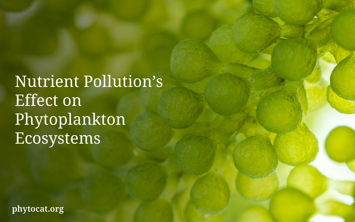

Phytoplankton are at the heart of marine life, serving as its base. They play a big role in the earth’s cycles. Keeping an eye on them helps us understand the ocean’s health. This becomes more critical as our climate changes.
Studies by people like Bolaños et al. (2020) and Brotas et al. (2013) show how satellite pictures can help. These studies use tools from the European Copernicus Marine Service Product. They look at the color green of the ocean from space to figure out the amount of phytoplankton.
This way of study tells us a lot about these tiny life forms, especially in important areas like the western North Atlantic. As technology gets better, we’ll learn even more about phytoplankton. This knowledge is vital for keeping our oceans healthy amidst changing environments.
The role of phytoplankton in the marine ecosystem
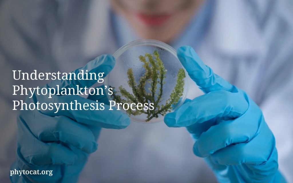
Phytoplankton are the main producers in the marine ecosystem. These tiny organisms are crucial for the ocean’s health and balance. They use photosynthesis to turn sunlight into energy. This supports the whole food chain.
Function as the base of the food chain
Phytoplankton are the beginning of the marine food chain. They are eaten by zooplankton. Then, larger marine animals like fish and whales eat these zooplankton.
The number of phytoplankton affects fish populations. Their health is key to maintaining marine biodiversity.
Impact on global carbon cycles
Phytoplankton are important in the global carbon cycle. They absorb a lot of carbon dioxide through photosynthesis. This process is responsible for nearly half of the planet’s oxygen.
They help move about 10 gigatonnes of carbon from the air to the deep ocean every year. Their role helps control carbon in the atmosphere and the ocean. This shows their big impact on Earth’s climate.
The use of satellite imagery to monitor global phytoplankton levels
Satellites play a key role in tracking phytoplankton in the oceans. They use special tools to gather important data. This data measures chlorophyll to estimate the amount of phytoplankton. Knowing the quantity of phytoplankton helps find blooms and see changes in the ocean’s color.
Types of satellite instruments used
There are many high-tech satellites helping with this task. Some include:
- SeaWiFS: Since its start, it’s been crucial in providing data on ocean color and chlorophyll levels, helping to understand phytoplankton numbers.
- MODIS (Moderate Resolution Imaging Spectroradiometer): Found on the Terra and Aqua satellites, MODIS offers detailed chlorophyll info and helps spot algal blooms.
- MERIS (Medium Resolution Imaging Spectrometer): Placed on Europe’s Envisat satellite, MERIS works across 15 spectrum bands. It allows for detailed ocean color analysis and monitors phytoplankton every three days.
Analyzing phytoplankton blooms from space
Studying phytoplankton blooms via satellites helps scientists look into their spread and life cycles. They use detailed color data from the ocean. This lets them track changes over time and seasons. It shows when and where blooms happen.
For instance, huge blooms have been spotted south of Iceland and near Canada. Satellites can cover vast areas. Over twenty years, they’ve mapped how different phytoplankton communities change with the seasons. This offers a deeper understanding of ocean life.
With these satellites and chlorophyll data, researchers can keep an eye on phytoplankton worldwide. This helps them understand more about these blooms and their impact on the seas. As the ocean changes, it’s crucial to continue this monitoring for protecting marine life.
Future of satellite monitoring technology for phytoplankton
The study of tiny ocean plants called phytoplankton is about to change big time. This is thanks to new tech in satellite monitoring. The upcoming mission named Phytoplankton, Aerosol, Cloud, ocean Ecosystem (PACE) is really exciting. It aims to better understand these tiny plants’ diversity worldwide. PACE will help us see how phytoplankton affect the ocean’s carbon cycle and our climate.
New satellite tech will let scientists study not just how many phytoplankton there are. They’ll also learn about their roles and how they interact. Using advanced algorithms and machine learning, they can spot trends in the ocean. This is key for managing fish populations and keeping an eye on harmful algae blooms.
Bringing artificial intelligence into how we process satellite data is a game changer for studying the ocean. As this data gets better, we can do deeper dives into phytoplankton communities. This progress is great for scientists, policy makers, businesses, and teachers alike. They all need up-to-date info to make smart decisions about the ocean and its health.

- Poke Yoke in Manufacturing: Preventing Errors at Their Source - February 6, 2026
- Integrated Payment Systems: Fueling Scientific Advancement Through Efficient Funding - January 12, 2026
- Professional Distribution Center Cleaning Services Explained - December 13, 2025